VicUrban@Cardinia Road Wetland
Client \ VicUrban
")
The VicUrban@Cardinia Road project is a landmark development and is located within Officer, bounded by Princes Highway to the north and the new Pakenham Bypass to the south. The eastern extent is Cardinia Road. Adjacent to nearby growing communities, this land development is part of the Cardinia growth corridor acting primarily as an infi ll development creating new dwellings by the year 2011.
The development will in essence create a community with a new Town Centre nucleus to be created around the existing Offi cer Station in the vicinity of Officer South Road.
Set on the swampy lowlands below the Beaconsfi eld foothills of the Great Dividing Range, the topography of the site is very subtle. There are gentle rises within the project site, and these are known to have aboriginal artifacts of the Boonewurung people. The Boonewurung people lived in the region in a time when Offi cer was once heavy with scrub and swamp dominated by red gum, blackwood wattles, prickly acacias, reeds and rushes. The site has since been drained and cleared for agricultural farming, by early settlers, with little evidence of any indigenous vegetation remaining.
Vegetation on the site has been planted by previous owners and is predominantly ageing groups of identical species planted in windrow format. The Pakenham railway line forming the northern extent of much of the VicUrban landholding incorporates an existing train station founded in 1881. The station is a critical component of the wider project and forms a remarkable urban design opportunity. The train station connects Offi cer to Melbourne and Pakenham providing vitally needed public transport infrastructure and the basis of a sustainable means of travel.
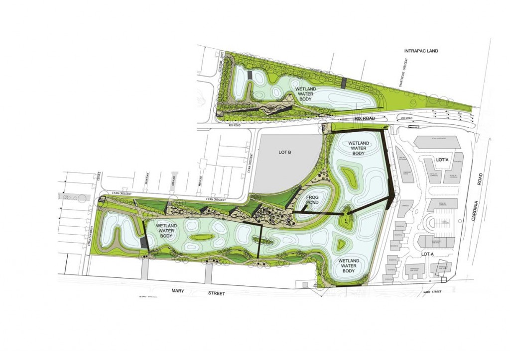
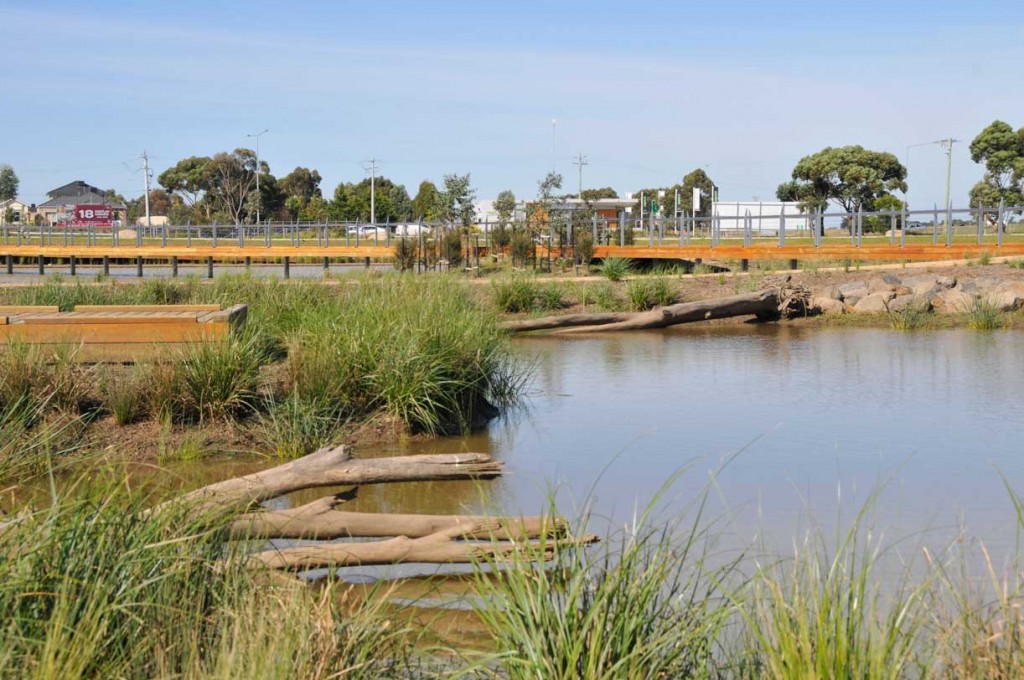
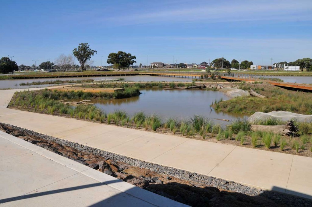
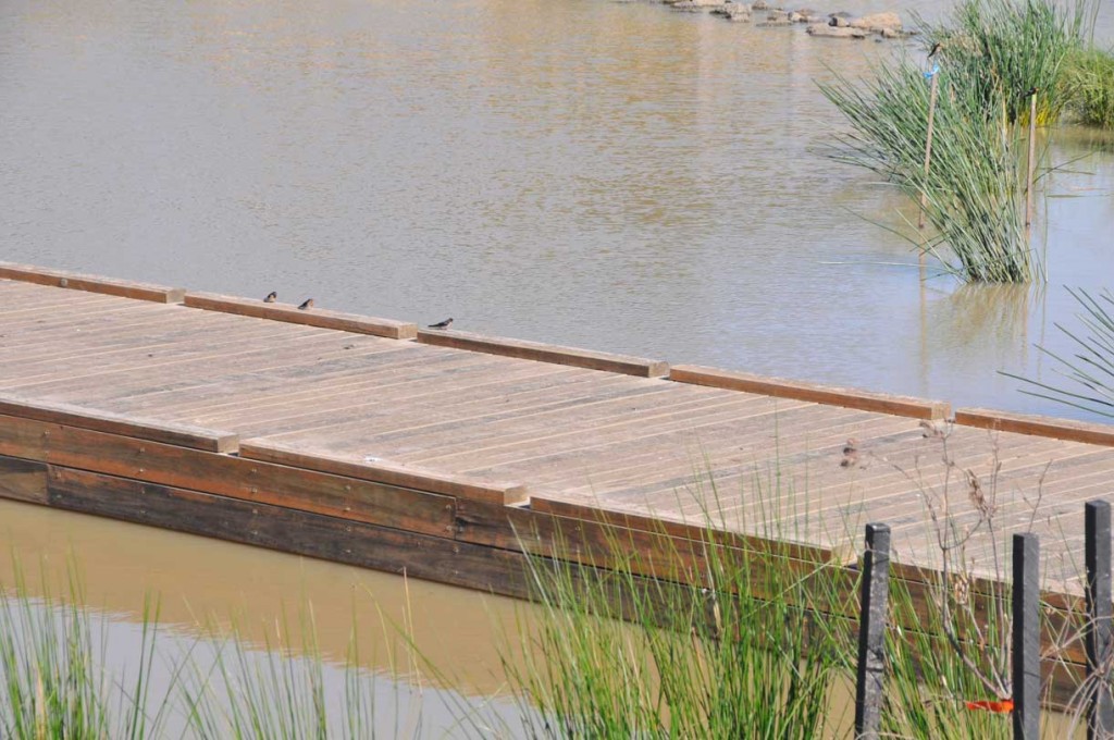
The wetlands were implemented as part of the first stage of works at Officer by VicUrban. The wetlands are located atthe developments entry, nestled between Mary Street to the south, Cardinia Road to the East and Henry Street to the North.
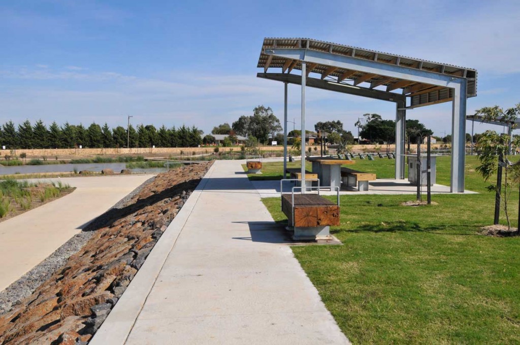
The urban context surrounding the wetlands consists of mixed use building developments including residential housing running alongside the water’s edge to the east. The developments display village will be located along the western side, providing an immediate civic connection to the wetland from the outset of the development. Water front housing will be located to the South. The overall profile of thewetlands is of two arms – north and south – that connect in a single open water body.
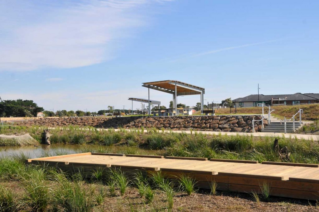
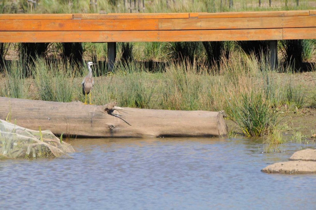
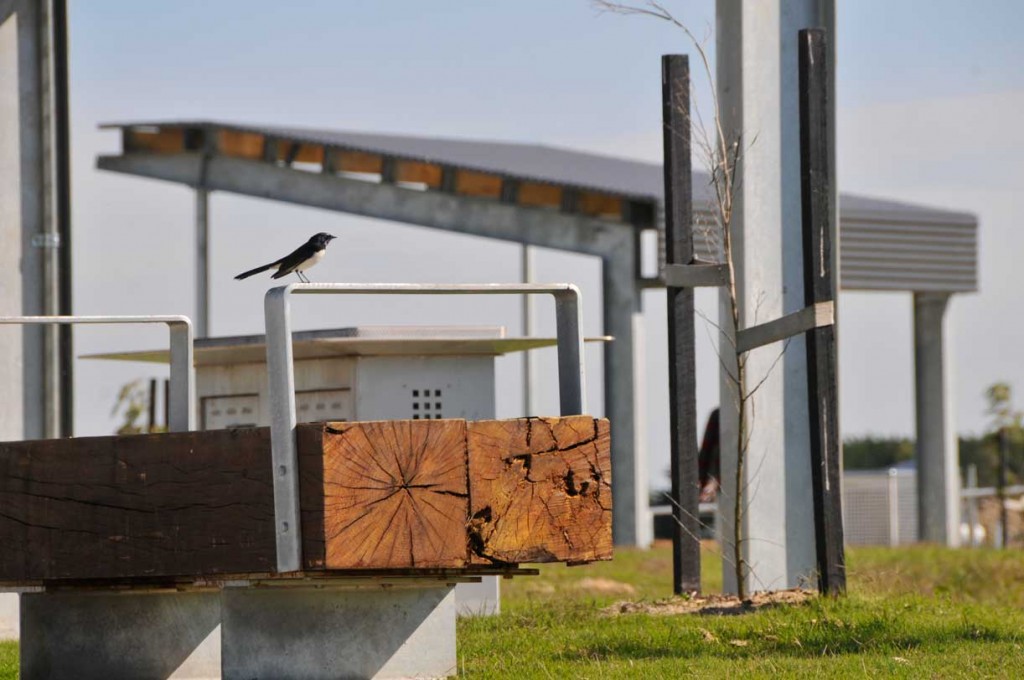
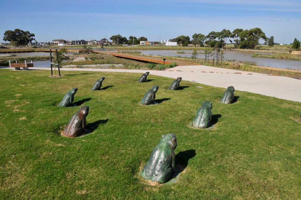
The design intent of the proposed Landscape works for the wetland consists of a number of key elements. Their primary purpose is to allow for the collection and treatment of storm water runoff within the development, removing detrimental nutrients and heavy metals. This functional aspect is demonstrated through the design of the wetlands with the inclusion of shallow marsh’s, deep marsh’s and open water sections all contributing to the water treatment cycle. The wetlands will provide a key attraction to the ensuing urban growth and over time will continue to grow and function providing a place of visual beauty and natural experience within the development. The visual and physical experiences within the wetlands area have been considered and designed with the intention of setting a high standard of exemplary ‘green living’ for all future residents and visitors.